Hi Class!
This Sunday (May 3rd,2015) is our “unofficial” FULL MOON HIKE field trip. I’m really excited to take pictures of the moon with you guys 🙂
Here’s all the information you will need to participate:
A little basic information:
Bring:
– water & snacks (who hikes without snacks?)
– Flashlight / Headlamp
– jacket if you get cold at night sitting on mountains
– a blanket or towel to sit on
– some bug spray if you’re tick-phobic like me
– a camera & tripod, telescope, Hubble… whatever you wanna use to look at the moon
– your fun self 😀
FYI: Hike is about 1-1.25 miles from Canyon/Oakglen
— Approx. a 45 min/1 hour hike to the top at a medium pace (its all uphill)… or shorter if you’re fast and amazing.
!!!!! RSVP !!!!! by emailing me so I will be expecting you and make time for you to take pictures.
I will be parking on Canyon and starting to walk up to the trail head at 6pm sharp. Moonrise is at 7:30pm. Full moon display is at 8:45. I wanna get there in time to set up without rushing. Moonrise can often get you better pics than full moon in my opinion. I want to catch the moon coming over the ridge of the mountains if I can. Feel free to meet me there anytime between 7:30-9:00pm 🙂
A little background info:
- Our hike is taking place AFTER PARK HOURS (Monrovia Canyon Park closes at 5:00pm – GATE closes at that time as well). I spoke with the park rangers today about this — The park’s PEDESTRIAN GATE is kept open 24/7 but the VEHICLE GATE will close at 5pm. We will not “get in trouble” for being in the park after it is closed. He did say that there are no rangers in the park after 5pm, so they are not liable if someone gets hurt or lost… basically, we hike at our own risk.
- We will be using the Cunningham Overlook Trail which is located inside Monrovia Canyon Park and starts about 100 feet up the road past the ranger station. Here’s a satellite picture of the trail:
DIRECTIONS:
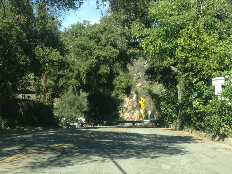
- Go NORTH on Canyon Blvd. and PARK ON THE STREET near Ridgeside Drive. Watch out for “No Parking” signs.
- Canyon Blvd. forks at Oakglade Dr./Canyon Blvd. Stay right at the fork to continue up Canyon Blvd.

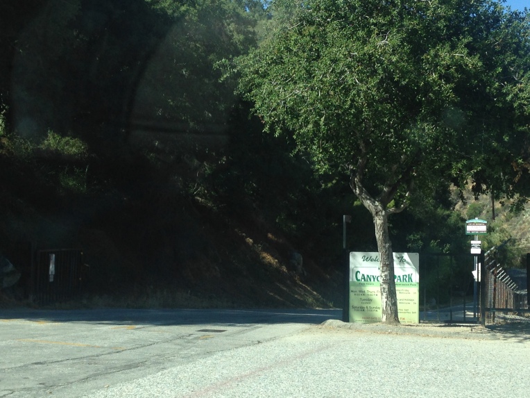
- Walk up CANYON BLVD. Go through pedestrian gate. Vehicle gate will be closed after 5pm.

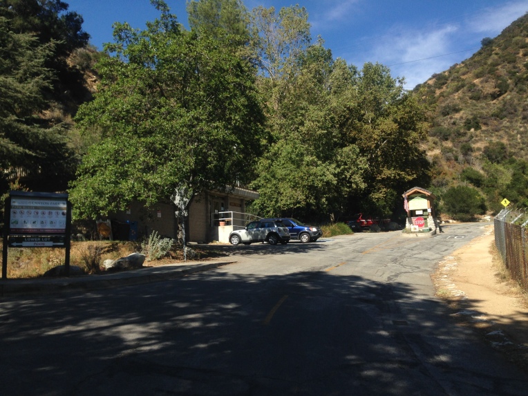
- Continue walking up Canyon Blvd. and you will see the Ranger Station on your left.
- The Bill Cull Trail is about 100 feet past the Ranger station. Its directly across the road from the pedestrian crossing sign. Once you get under that shady tree on the left, you’ll see signs marking the Bill Cull Trail. See pictures below.
Once you get to the Bill Cull Trail signs, go left (the signs are at a kind of fork in the trail). 
Go this way:
DON’T go this way:
- Continue on the Bill Cull trail until you get to the Cunningham Overlook Trail / Bill Cull Trail junction. This is noted on the trail picture above (first picture on this post) and on the trail map below. Proceed onto the CUNNINGHAM OVERLOOK TRAIL. See you at the top!! 🙂


